VIEWS: 2084
December 5, 2024Tempe Town Lake Turns 25
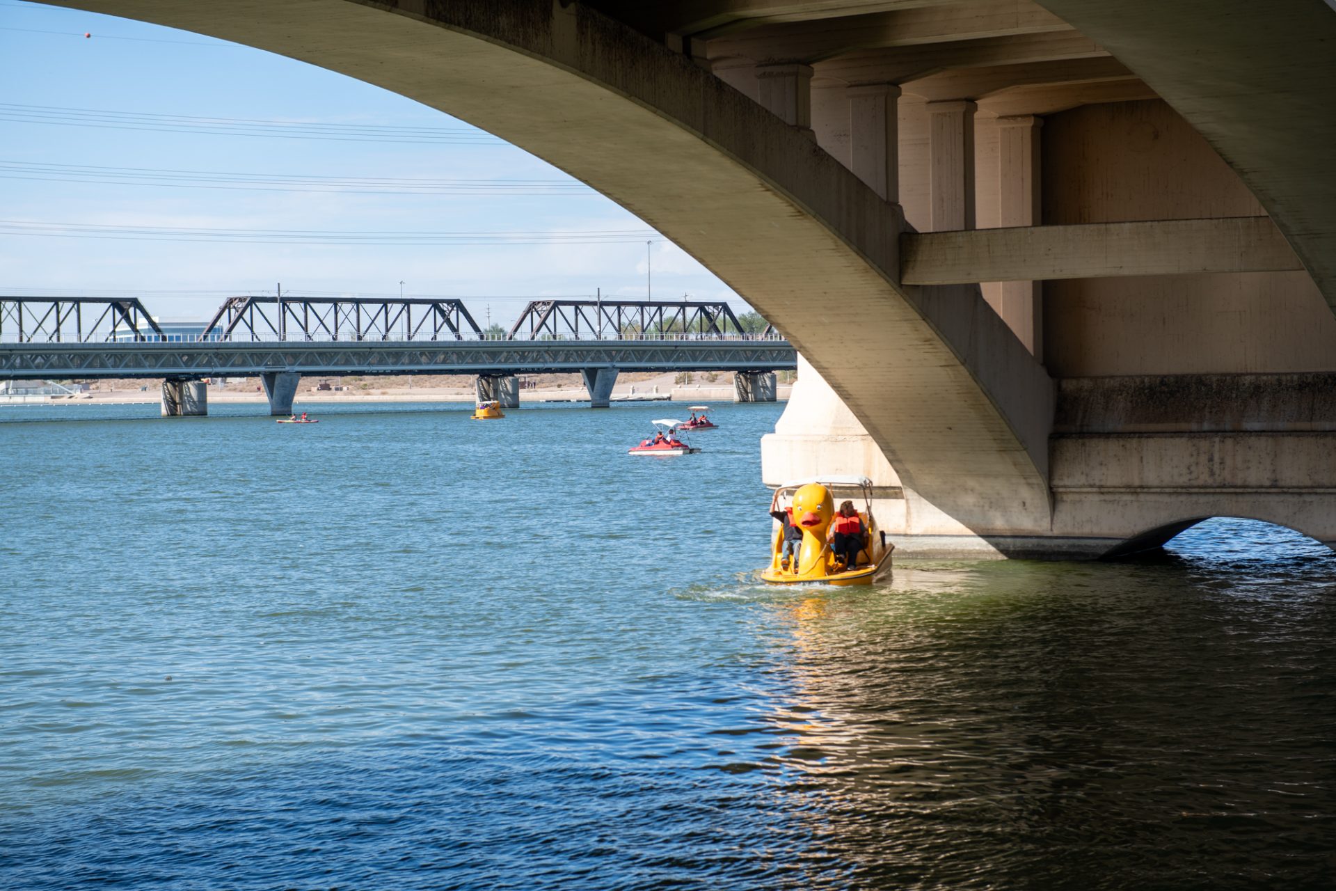
Twenty-five years ago, on November 6, 1999, more than 35,000 people attended the Tempe Town Lake Festival, an event marking the dedication of the new Tempe Town Lake, near the southwest edge of the Salt River Pima-Maricopa Indian Community. The new recreational attraction sits at the heart of a dry riverbed that once flowed wildly as the Salt River. The next day, the lake was opened to the public.
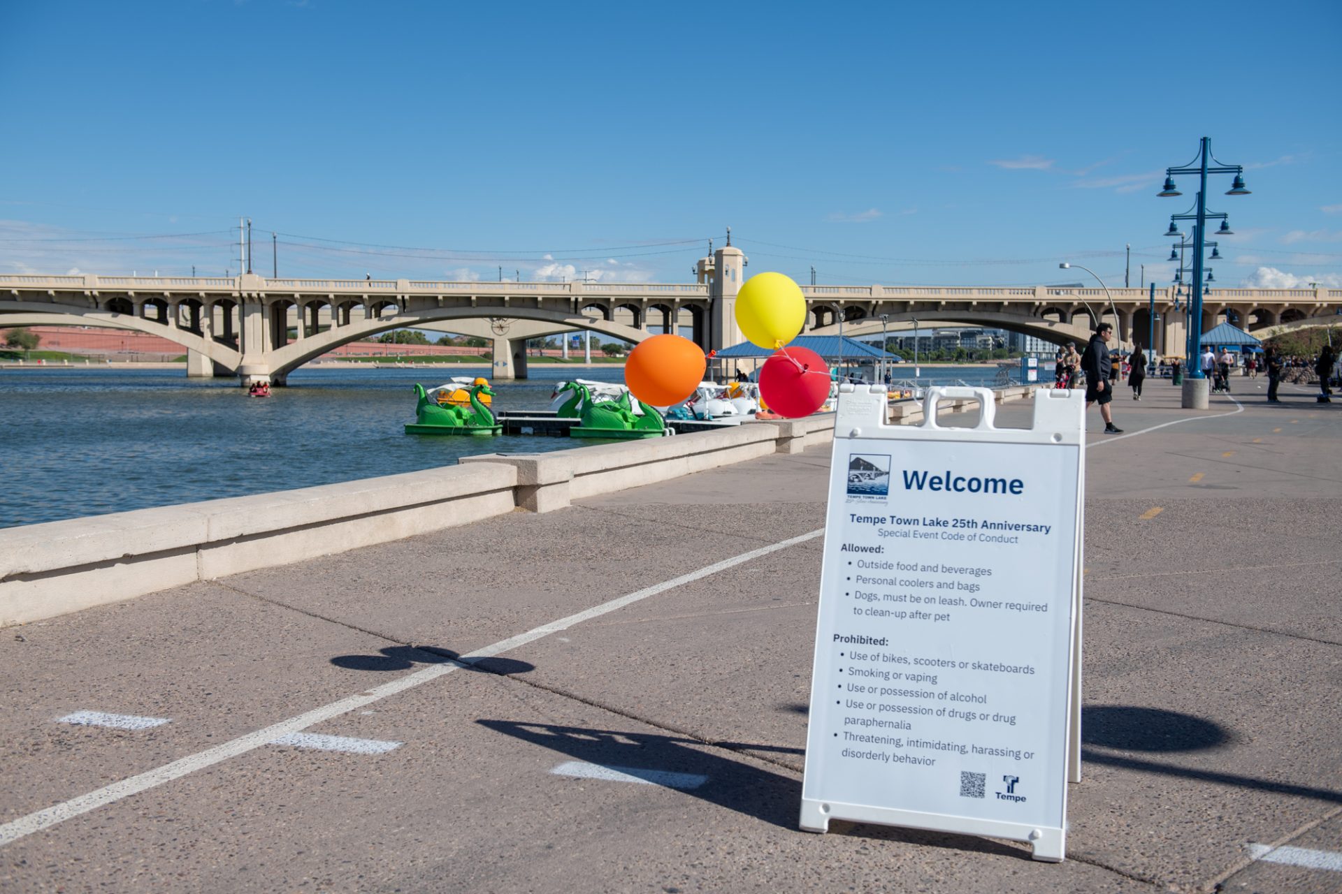
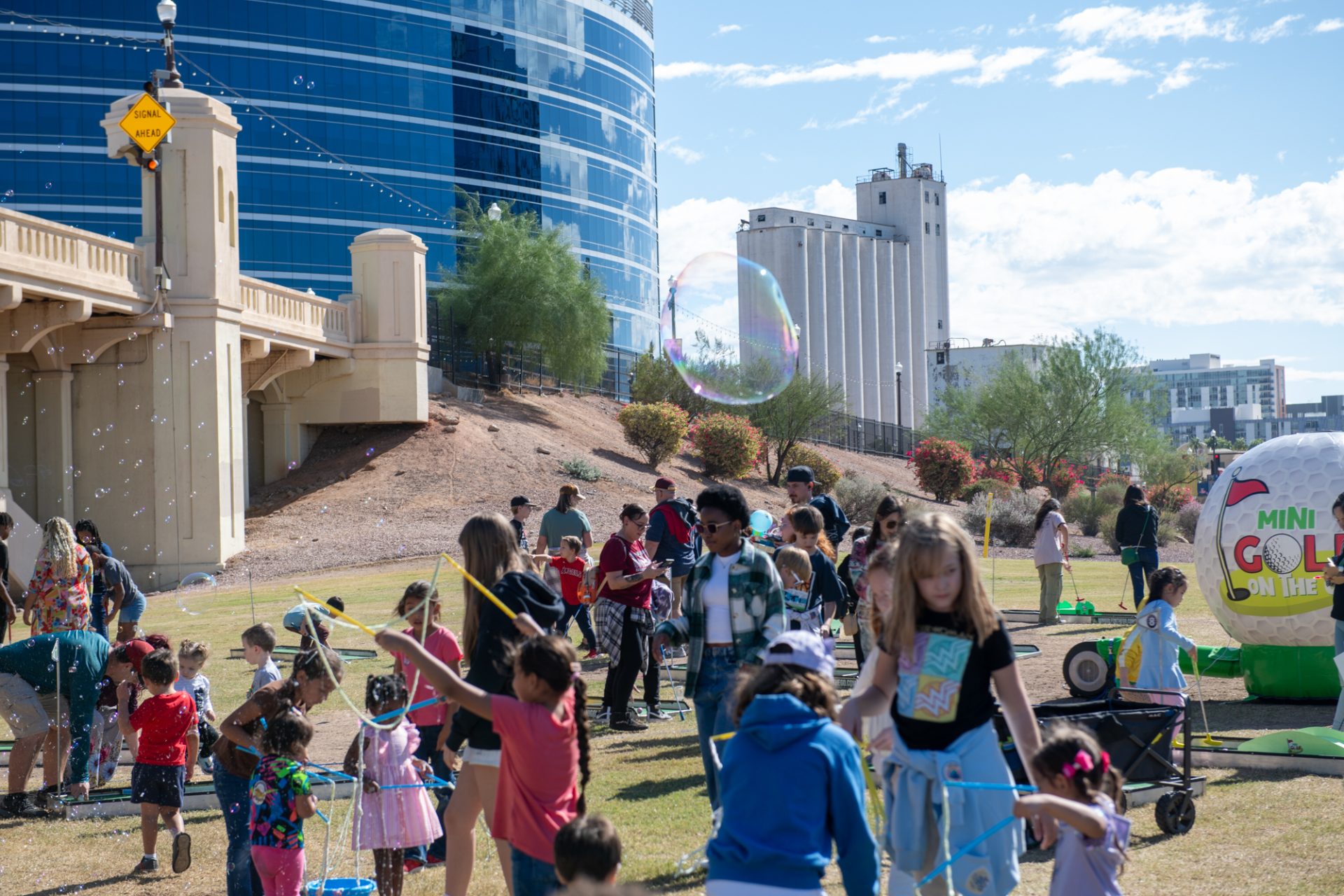
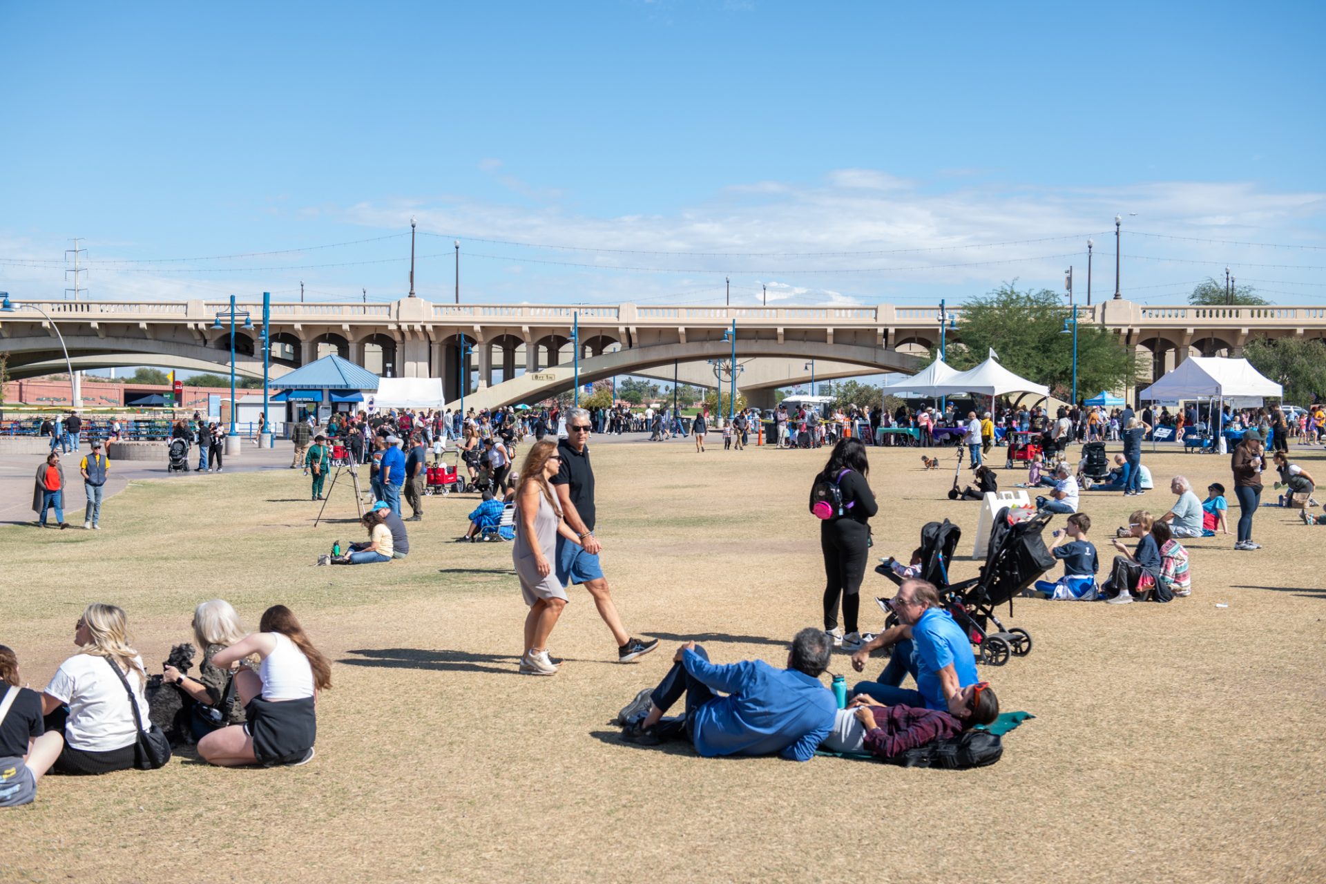
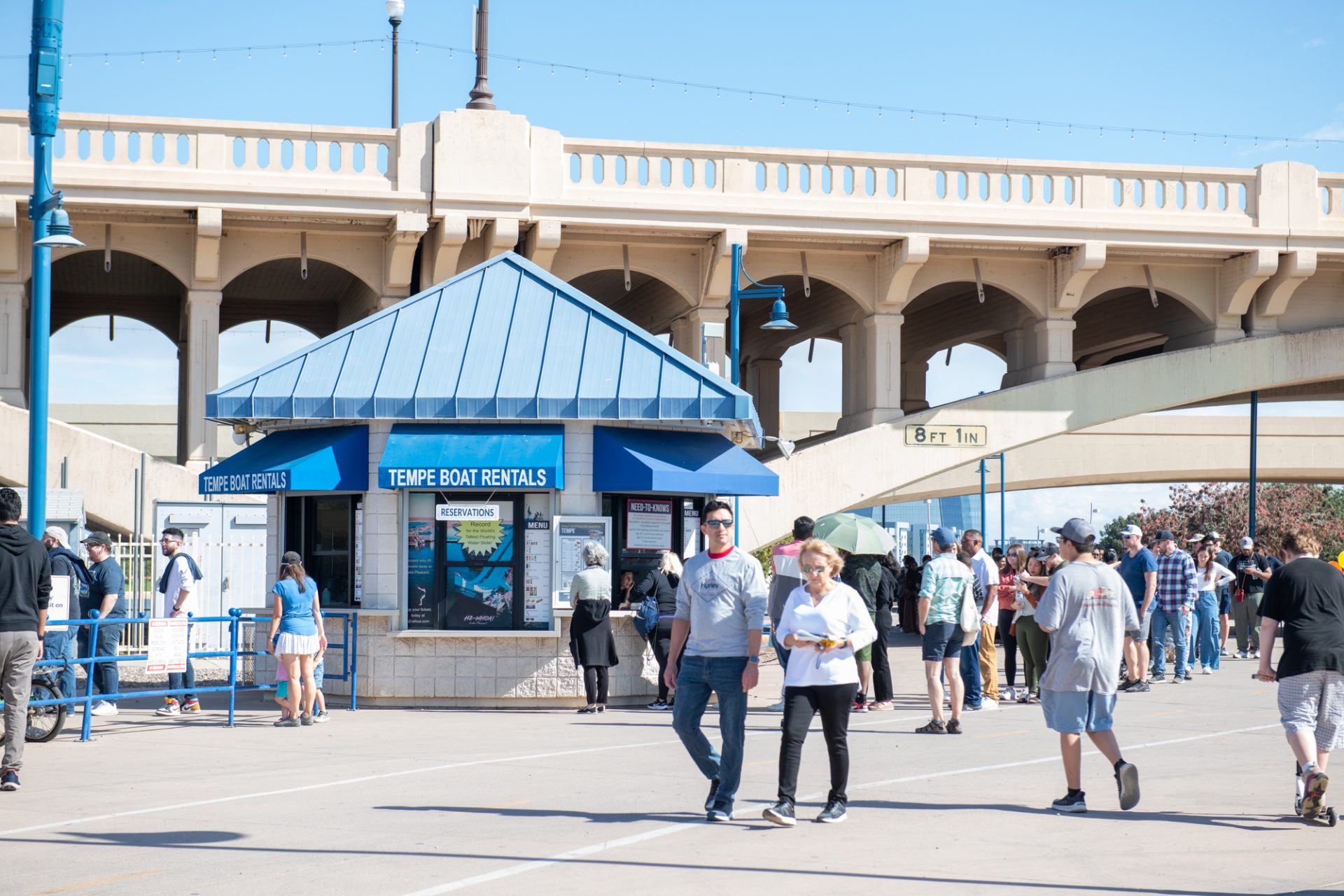
On November 3, Tempe held a community gathering to recognize the anniversary of the 2-mile-long, 800- to 1,200-foot-wide artificial lake. The celebration featured live music, food trucks, boating and more at Tempe Beach Park.
The city of Tempe invited SRPMIC Vice-President Ricardo Leonard to give a land acknowledgment address for the Onk Akimel O’odham and the Xalychidom Piipaash, but he couldn’t make it to the event.
“Tempe Town Lake started as an idea in 1966,” said Tempe Mayor Corey Woods. “Mayors like Harry Mitchell, Neil Giuliano, Hugh Hallman and Mark Mitchell all played roles in bringing the lake to fruition and helping it become the success it is.”
In the fall of 1966, students at the College of Architecture at Arizona State University took on a challenge issued by Dean James Elmore to create design concepts that utilized the dry riverbed.
The result of the challenge was the Rio Salado Project, a series of locks and channels creating an inland seaport, with further plans for parks, recreational areas and economic development along the Salt River.
Tempe now considers the attraction “an oasis of opportunity in the desert” and an economic driver and recreational hub of the area.
Each year, more than 2,000 rowers use the lake, which is also stocked with more than a dozen varieties of fish for people who obtain a standard Arizona fishing license.
Stocked with fish and full of water, Tempe Town Lake gives the Salt River a new life after decades of changes to the landscape and ecosystem.
O’odham Perspective on Lower Salt River History
Historically, the Lower Salt River flowed naturally and uncontrolled westward through the SRPMIC and other early communities formed by settlers as they began to move to the Valley in the mid-to-late 1800s.
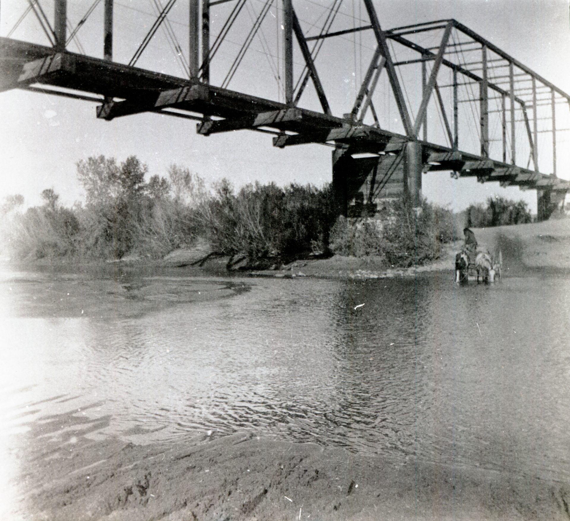
The river would often flood, and it became a nuisance as more settlers arrived. Bridges were built to cross the river; some were torn apart by floodwaters and some still exist today.
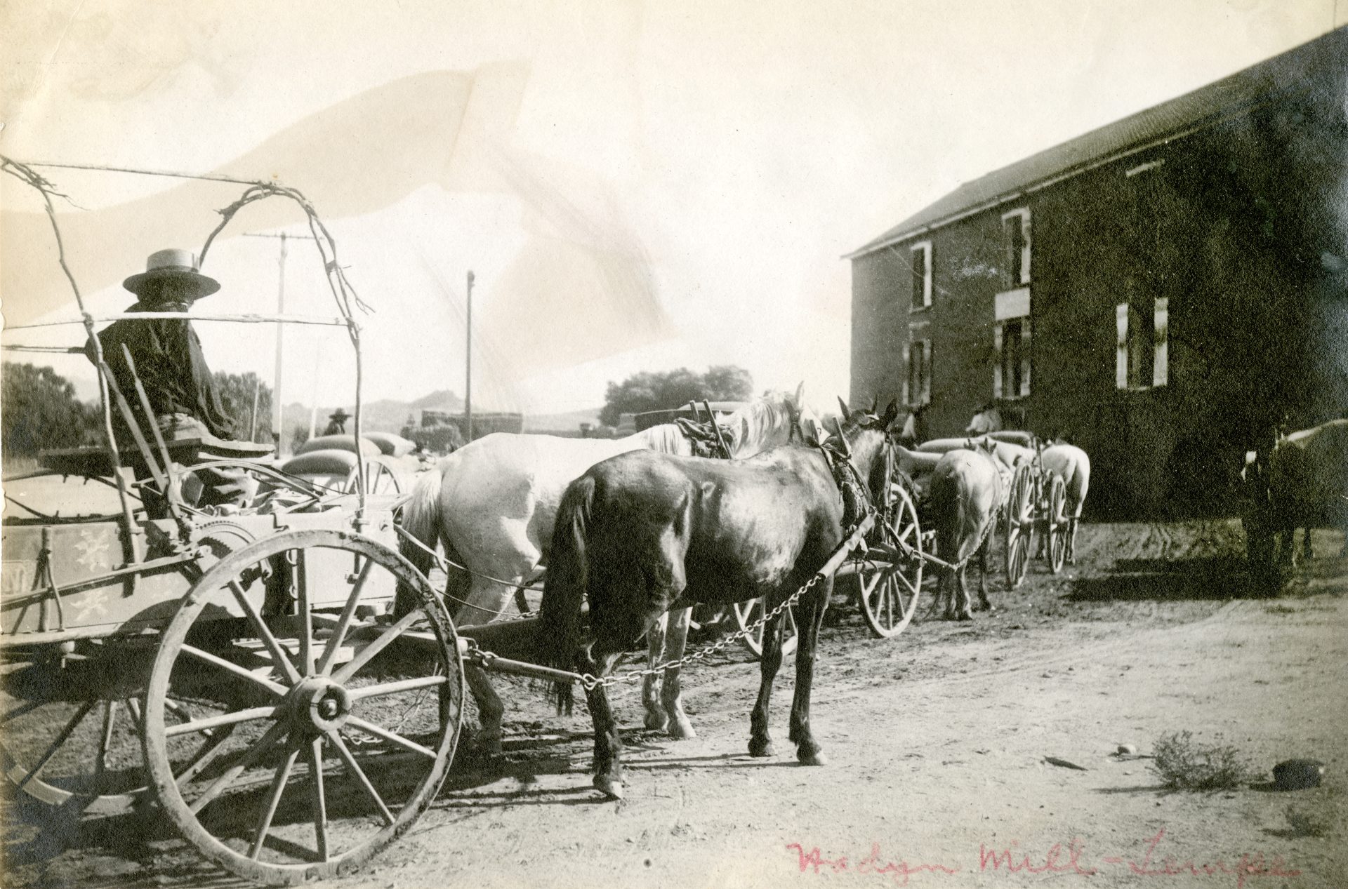
In 1871, entrepreneurial pioneer and Tempe founder Charles Trumbull Hayden used water from the river for his Hayden Flour Mill business at a narrow part of the river that lent itself to easier crossing. This was known as Hayden’s Ferry, a crossing operated by a wire cable across the river.
SRPMIC Council Member Jacob Butler said that at this location, the bedrock came relatively close to the surface of the water.
“There’s historic pictures of our people actually crossing there on foot,” said Butler. “[The O’odham] always used that area to traverse from one side of the river to the other because at one time the Salt River was considered unfordable. You couldn’t cross it [anywhere] except for at that site.”
In the late 1800s and early 1900s, the Theodore Roosevelt Dam and smaller dams like the Granite Reef Diversion Dam were built to control the flow of Salt River water in the Valley and divert it into canals for irrigation and drinking water to serve the growing population. These actions made it so that the Lower Salt River—the section that runs along the Salt River Pima-Maricopa Indian Community and neighboring communities—would cease to flow.
“A lot of people see [Tempe Town Lake] as something that is manufactured and not really indicative of what [the Salt River] really was, but the reality of that riverbed in that area is there’s never going to be a time when those waters are going to run the way they ran again,” Butler said.
Butler says while there are Community members who ideally want things to return to how they used to be, he accepts the situation for what it is.
Occasionally, the Salt River Project will release water from nearby reservoirs over the Granite Reef Dam, which creates a healthy flow of water down the Salt River. Community members share their photos and videos on social media, either reminiscing or imagining what the Salt River looked like barreling through the Valley in the past.
Butler has a vivid memory from his childhood of a day when his dad brought the family out to the McClintock Bridge to see the Salt River flowing freely.
“It’s awesome to see the riverbed flood over,” said Butler, who said he doesn’t bear any ill will toward Tempe and its lake construction.
“Being able to go to a place that once had water in it, even if it’s something that’s manufactured and is a very, very small semblance of what it once was—I don’t know, it still makes me feel good to see water in the middle of the desert where there was once a river.”
As for accepting change that affects traditional lands and ways of life, Butler finds balance in respecting the knowledge gained from other people and cultures while supporting the cultural retention and revitalization of his community’s traditions.
“What a balance looks like to me could be totally different [from what it looks like] to everybody else,” Butler shared.
Remaining outspoken while having good relationships with the communities surrounding the SRPMIC is important to Butler, he said, so that the Community’s perspectives, viewpoints and interests are acknowledged and taken care of.

